|
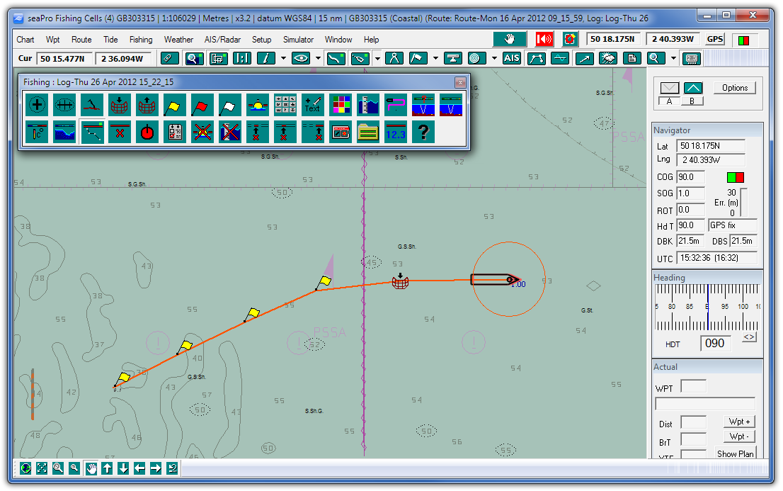
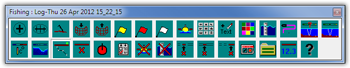
Fishing
Toolbar
Easy to use toolbar provides access
to all the major fishing functions. This offers clear
large buttons which makes using seaPro Fishing simple
and effective, even in the toughest conditions.

|
|
Comprehensive
Logs
Data logging for fishing data including
depth
values and navigation data (position, speed, heading,
depth, water temperature etc.). Can also drop position
markers to mark particular
locations or fixes (over 256 different symbols plus
different colors are provided). Ability to add text
notes for catch information etc.
|
|
Wake
Trail log facility, for a clutter free log display |
|
Chart Overlays
Multiple overlays and databases to be displayed
simultaneously over charts |
|
Overzoom
This feature allows the user to zoom into a chart
beyond the normal viewing level ((ideal for wrecks etc)) |
|
Blank
Chart Sheets
For very large scale mapping
- takes over when commercial charts are not high enough
resolution. This is ideal for trawling, wreck fishing
and surveys |
|
Multiple
Chart Formats
Supports both vector and raster
chart formats including Livechart, S57, ARCS and BSB.
Can display different chart formats simultaneously if
required |
|
Multiple
Chart Windows - allows one or more chart windows
so you can have an overview and detail plotting at the
same time |
|
Ground Discrimination and bottom mapping
- Get a view of the seabed ground type by interfacing
the highly acclaimed Seascan ground discrimination unit.
This takes the depth sounders signal strength readings
to provide an indication of the bottom material (e.g.
sand, rock etc). and displays in color over the chart).
Requires additional hardware from seascan
|
|
|
| |
|
seaPro
Fishing is suitable for vessels from about from 10m
up to full ocean going vessels. The product is not just
used in the fishing industry but finds uses diving,
wreck hunting and para-military applications. |
|
| Top 10
Frequently asked questions
PC requirements
Download
a demo
Download a brochure
|
|
Weather
Overlays Can display weather conditions
by downloading weather GRIB files (available on
the Internet and easily downloaded) including
wind speed and direction, wave heights, pressure
etc. Typical download files give 3 - 5 day forecasts.
Some data is free other is charged for.
|
|
ARPA
Radar Overlay
The system will interface with radar which has
NMEA output and plot other vessels positions and
their projected positions on your charts
|
|
AIS Automatic identification System
interface. Provides confidence that you can be
seen by large vessels when fishing in busy
areas or see approaching large vessels fitted
with AIS transponders |
|
Multiple
Color Plotting User defined colours can
be used to show depth, sea temperature and the
seabed type in specified colors. |
|
|