Display in key
locations
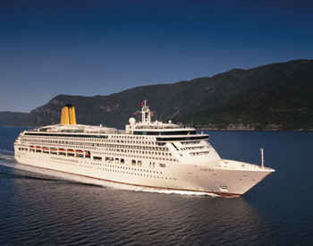
Passengers cabins
Lounge areas
On general presentation TV’s
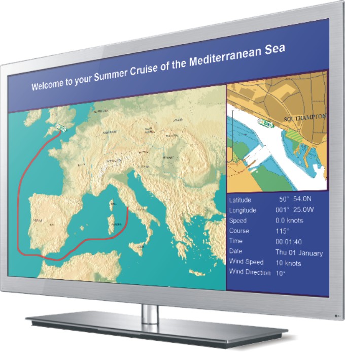
Navigation and chart panel
Show current location and heading as a vessel icon
Planned route
Progress on route
ETA to next port
How fast the vessel is going
Slide ‘Panel’ utilities
Text Display
Add any text. Provides full control of font type, size and colors
Image panel
Display most common image formats - JPEG, BMP, TIFF & PCX
etc.
Video panel
Show AVI or MPEG videos for safety or other presentations
Live Video Camera Feed
Display live videos from ship camera’s (note: this option
requires additional HW and interfacing)
Slide order control
Geographical location (definable areas) for example:
- Embarkation
- Departure
- En-route
- Arrival
- Disembarkation
Other features
Add third party products such as a Power point presentations or flash as part of slide show.
Ticker scrolling line text overlay display - for displaying urgent or temporary messages without changing the slide show/presentation.
Can be used with twin display graphic cards, one for the passenger display other for the control screen.
