Software
- seaPro Lite
- seaPro Standard
- seaPro Performance Sailing
- seaPro Plus
- seaPro Professional
- seaPro Patrol
- seaPro Pilot
- seaPro Fishing
- Platform Protection
- Passenger Information
Charts
Admiralty Digital Products
Hardware
Weather
Charting SDK / API
Mailing list subscription
 |
||
Worldwide Charting
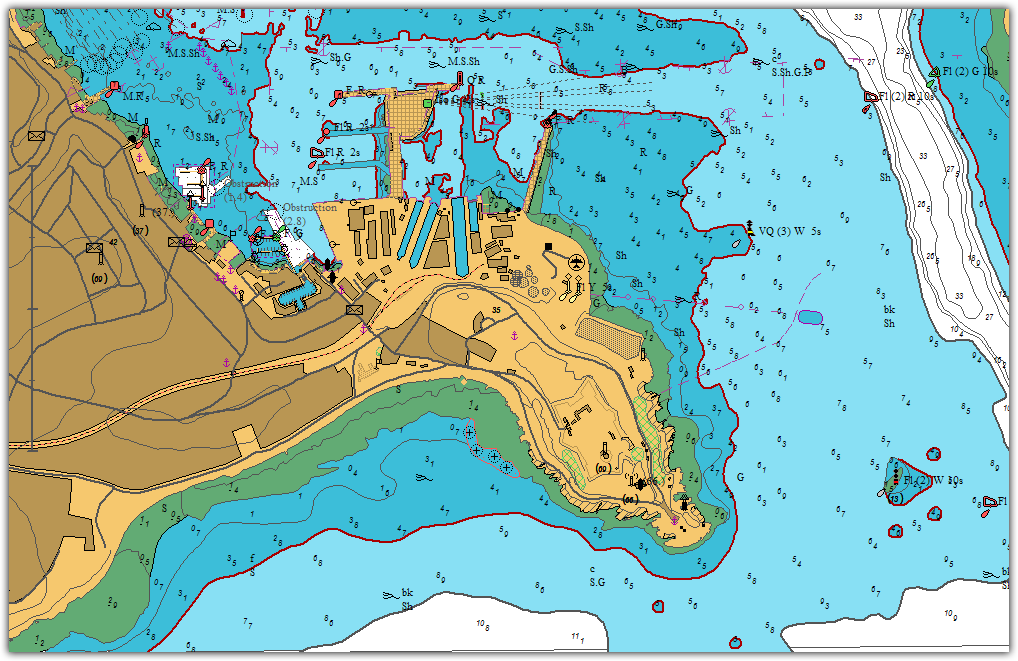
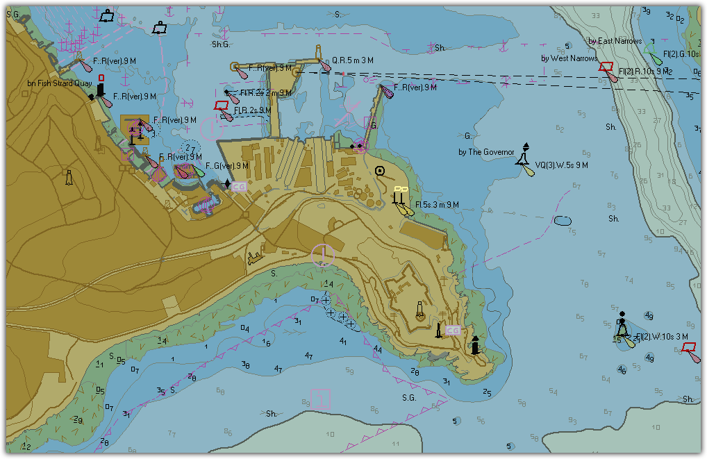
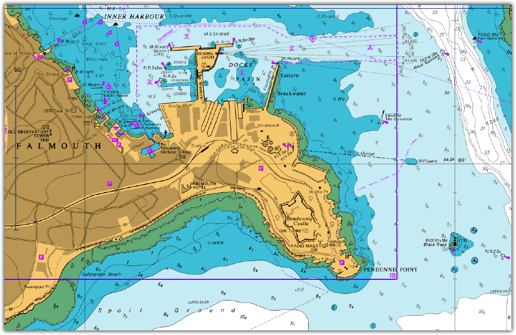
seaPro is a ‘multi-fuel’ charting system that utilizes both vector and raster chart formats to provide you with the best choice of quality charts wherever you are in the world. Simply select the charts that suits your geographic location and format preference.
Charts supported by Euronav offer quality, detail, accuracy and coverage in standard formats that are regularly updated.
For GIS (Geographical Information System) users, Livechart and S57 vector charts are also available in various formats such as GXF, GeoTiff and Mapinfo Further information on GIS data
Supported chart formats:
Livecharts, Navionics, S57 ENCs (AusENCs, AVCS, Primar, unencrypted S57s), Raster RNCs (AusRNCs, ARCS, BSB, NZMariner).
Vector Charts
|
Livecharts
Quality vectored charts that faithfully reproduce the color, accuracy and detail of standard hydrographic office paper charts in a vectored and layered format offering total flexibility not possible with paper charts. Seamless chart selection and the ability to automatically select detail relevant to zoom level or as defined by the user. For a full list of the chart packs available please see the Price List. |
 |
|
S57
Digital data produced by hydrographic
offices and other official sources of chart data. This chart
format will eventually replace paper charts. Although availability
world wide is limited, coverage is rapidly improving especially
in Northern Europe and the USA. S57 charts are supplied
either in an encoded format (copy protected) or in a non-encoded
form. |
 |
| ARCS Official raster charts produced
by the UKHO which offer world-wide coverage.
An ARCS catalogue is provided within seaPro and on the seaPro
demo CD. Official raster charts produced by the Australian Hydrographic Office which cover Australasian waters. NZMarinerNew Zealand Hydrographic Office Charts. BSBAvailable from a number of manufacturers throughout the world, the prime supplier is Maptech (especially in the USA) including the new BSB 4 version. Note: There are a number of BSB 'dialects', most are supported but compliance with non-Maptech BSB cannot be guaranteed. Euronav is a distributor for the above products
|
 |