THE NAVIGATION SOFTWARE SPECIALISTS
+44 (0)23 9298 8806
Home Products Price List Dealers Contact About Us Support Downloads Shop
ENC/S57 digital charts  
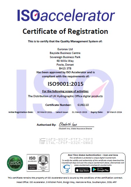

What are ENC/S57?
Electronic Navigational Charts (ENCs) are digital vector charts produced to the International Hydrographic Organization’s (IHO’s) standards (S57 Version 3.1 and ENC Product Specification). They are referenced to WGS84 datum and are normally supplied with an official update service which is available for download or by CD.

The Admiralty Vector Chart Service (AVCS) brings together Electronic Navigational Charts (ENCs) from national Hydrographic offices around the world and new ENC coverage produced by UKHO in co-operation with Foreign Governments to provide comprehensive, official, worldwide coverage. These are fully vectorised charts using the best available data for the area.


Are these compliant?
The Admiralty Vector Chart Service only contains ENC data that meets Safety of Life at Sea (SOLAS) Carriage Requirements for use within Electronic Chart Display and Information Systems (ECDIS).

Note:If used with a non-type approved ECDIS system then they do not meet carriage requirements..

Can I use S57/ENC data ?
Yes if you have an ECDIS system or any charting system that is able to use Electronic Navigational Charts (ENCs) this includes seaPro 3000.

How to order
To order S57 charts simply decide on individual cells required or as a folio coverage and call Euronav sales.

A weekly update service is included (download or at additional cost CD)

For further information follow the links below to the UKHO web site

Pricing and further information Admiralty Digital and online catalogue  
View brochure on AVCS service (pdf)    

For individual pricing for your own specific area please contact Euronav sales.

 
<< back